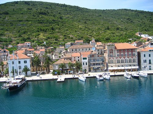
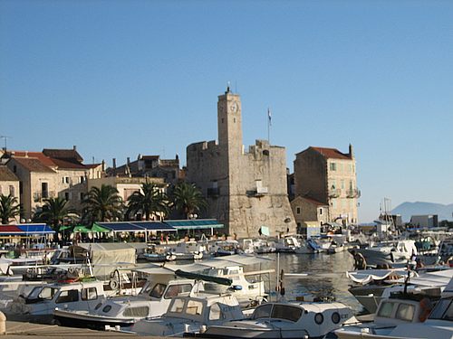
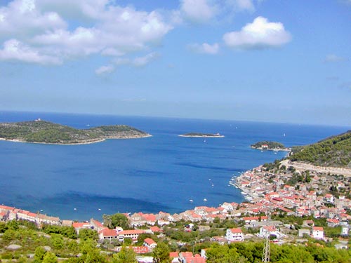
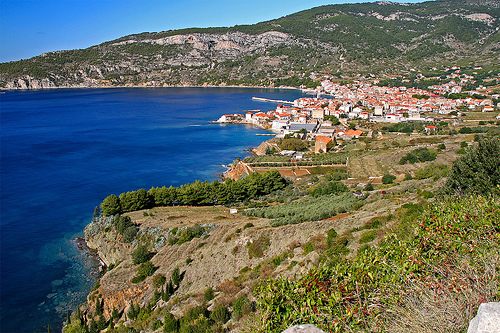
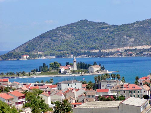
City of Vis
The island of Vis is the most protruding Croatian island with an area of 90.30 km2. The channel of Hvar separates it from the island of Hvar, and the Biševo channel from the island of Biševo. It is approximately 60 miles away from the Italian coast. The island has three mountains stretching across it, and between these mountains are karstic fields. Hum has the highest altitude (585 m), Sveti Duh (563 m), and Mali Hum (514 m). (See map of Vis) The locals are into agriculture, fishing and tourism. The coasts of the island are sloped and separated. To the west of the island is the Komiza bay and to the north is the Vis harbor. The first people settled in Vis in 3000 B.C. They were of Mediterranean background. In 2000 B.C. they were pushed aside by the Illyrians which formed their own government in the fifth and sixth century B.C. The Sirakuski tyrant of Dimitrij the Elder in approximately 397 years B.C. established his colony on Vis and its settlers expanded their influence towards the central- Dalmatian islands. The Illyrian king Agron I and queen Teuta, who where defeated by the Romans in 219 B.C., threatened the authority of Vis (Issa). Since then Issa has acknowledged the authority of Rome. After the downfall of the Western Roman Empire (year 476), Vis at one time acknowledged the authority of the Goths and then the Byzantines. The Croats started settling in Vis in the seventh century. Vis was occupied and destroyed by the Venetians and under Venetian authority from 1420. With peace in Campoformio in 1797, Venice hands it over to Austria, and after peace in Požun in 1805 it comes under the French who fortify it. In March 1811, the English fleet struck a hard defeat to the French-Italian fleet and occupied Vis.
